Mount Washington Valley, New Hampshire

From above, we see the heat.

FAA Part 107 aerial and thermal services across the Mount Washington Valley — search & recovery, construction documentation, and thermal inspection. Day or night, in any weather.

20+ years in aviation FAA Part 107 licensed $1,000,000 insured All-weather thermal
Licensed & commercially insured
Rapid same-day dispatch
Night & adverse-weather capable
Rooted in the White Mountains
What we do

One drone. Three missions.

Aerial and thermal intelligence for the Mount Washington Valley — split evenly across recovery, construction, and inspection, and backed by decades in aviation and building science.

Search & Recovery

Pet & deer recovery

A hiding animal can't hide its body heat. We fly a systematic thermal grid and find the warm signature the ground search walks right past — fast, day or night.

  • Lost dogs, cats & livestock
  • Wounded-deer recovery for hunters
  • Search-and-rescue support for agencies
  • Same-day dispatch, follow-ups discounted
Construction & Property

Construction documentation

Drawing on an affiliated building-science & construction-management firm, we turn aerial footage into records you can actually use — from first excavation to final walkthrough.

  • Progress documentation & timelapses
  • Site surveys, excavation & grading
  • Foundation & framing records
  • Real-estate & property imaging
Thermal Inspection

Thermal inspection

The same sensor that finds a lost animal reveals what's wrong with a building — read by someone who understands the structure, not just the drone.

  • Roof, gutter & ice-dam inspection
  • Building-envelope & energy-loss surveys
  • Moisture & water-intrusion mapping
  • Electrical & solar-panel scans
The callout

How a job runs

Whether it's an urgent recovery or a scheduled survey, the workflow is the same — fast, careful, and fully documented.

01

Call & intake

Tell us the site, the goal, and the timeline. We quote on the spot — no surprises.

02

Rapid dispatch

We load the command SUV and head out — same day for recoveries, scheduled for surveys.

03

Fly the grid

A methodical thermal and visual pass over the area, capturing every signature and detail.

04

Deliver the result

A found animal guided to recovery, or imagery and findings handed back ready to act on.

M4TD · IR 640×512 TARGET +8.2°C ABOVE AMBIENT
Why thermal wins

Heat reveals what the eye can't — a deer hidden in cover, a wet spot behind a wall, a failing connection on a panel.

Everything radiates heat, and differences of just a few degrees tell the story: a living body glowing against cold ground, moisture cooling a roof deck, energy leaking from a poorly sealed wall. Our infrared sensor turns those differences into a clear picture from hundreds of feet up — the same technology that finds a lost animal in minutes also maps a building's hidden problems in a single flight.

What it costs

Honest, upfront pricing

Here's where our services start. Because no two searches are alike, every job gets a firm quote for your exact situation — no surprises, ever.

Pet & deer recovery
Starting at$275
first hour · +$150 each additional

A full thermal grid search for a lost pet or wounded deer. Most run one to two hours. Night & distance quoted on the call.

Roof / gutter inspection
Starting at$225
flat rate · high-res imagery + report

Ice-dam, storm-damage, and wear inspection — a safe look at the roof without anyone climbing a ladder.

Real-estate & aerial photo
Starting at$300
flat package · edited stills + video

Listing and property photography that shows the land, the setting, and the whole parcel from above.

Construction / site survey
Starting at$400
per visit or day rate

Progress documentation and site mapping for builders and landowners, on a one-off or recurring basis.

Land / property recon
Starting at$350
flat rate

A full aerial look at large or hard-to-reach parcels — boundaries, access, timber, water, and terrain.

Public safety / SAR
AgenciesContract
standby & day-rate available

Thermal overwatch for police and fire on missing-person and lost-hiker calls. Let's set up a standing agreement.

Estimate your quote

Get an instant ballpark: base service plus round-trip travel from our base (ZIP 03851) at $100/hr, with a 30% weekend rate. Your firm price is confirmed before any deposit.

Base service
Round-trip travel
Weekend rate (+30%)
Estimated total

Estimate only, based on driving distance from 03851 at current rates. Night work, difficult access, or longer jobs may adjust it. You're not charged anything now — send a request, and we only take a deposit once we review and accept the job.

Request this time →

♥ Genuine hardship? Ask about our community search fund — we never want cost to be the reason a pet doesn't come home.

The equipment

Built for the hardest conditions

Our flagship is chosen for exactly the work the White Mountains demand — cold, wind, rain, snow, and darkness.

Flagship aircraft

DJI Matrice 4TD

Thermal sensor640 × 512 (super-res 1280×1024)
Visual cameras48 MP wide · tele · mid-tele
RangefinderLaser · to ~1,800 m
Enduranceup to ~54 min per flight
Weather ratingIP55 · rain · fog · dust
Night opsNIR light · night-scene mode

Backed by a compact secondary aircraft for daylight, photography, and tight-quarters flying — so the mission always has the right tool in the air.

Recent work

Proof from above.

Real jobs across the valley — inspections and construction documentation flown and interpreted by a team that understands buildings, not just drones.

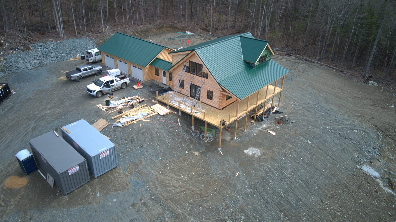
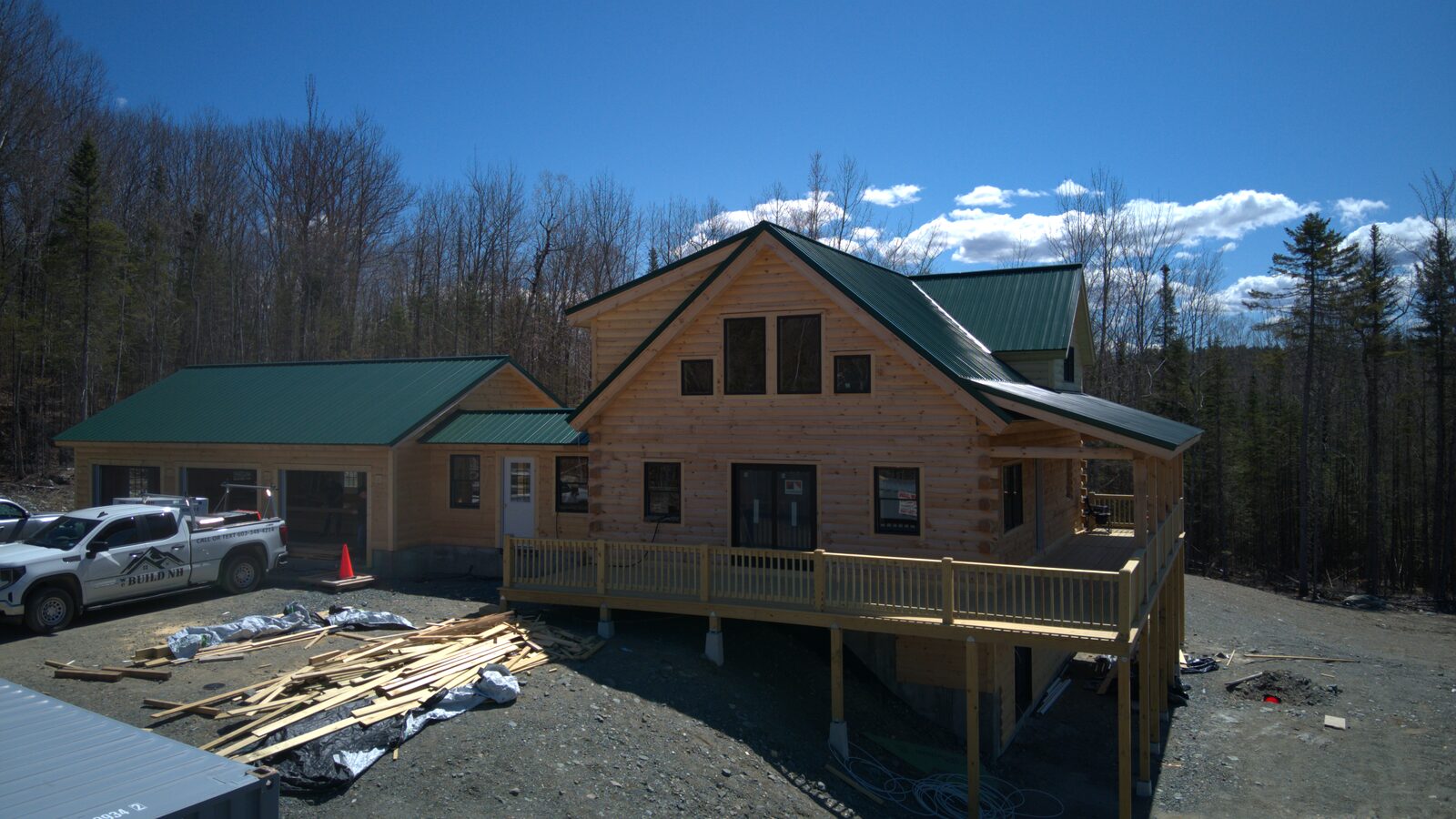
Aerial of a custom log home with a green metal roof under construction
ConstructionCustom log-home build — progress from above
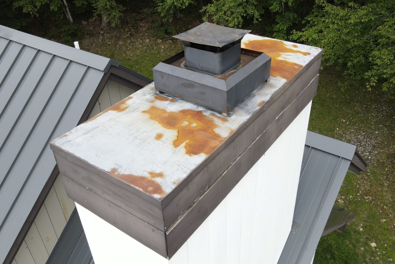
Aerial inspection of a metal chimney cap showing rust and corrosion
InspectionChimney & flashing — corrosion mapping
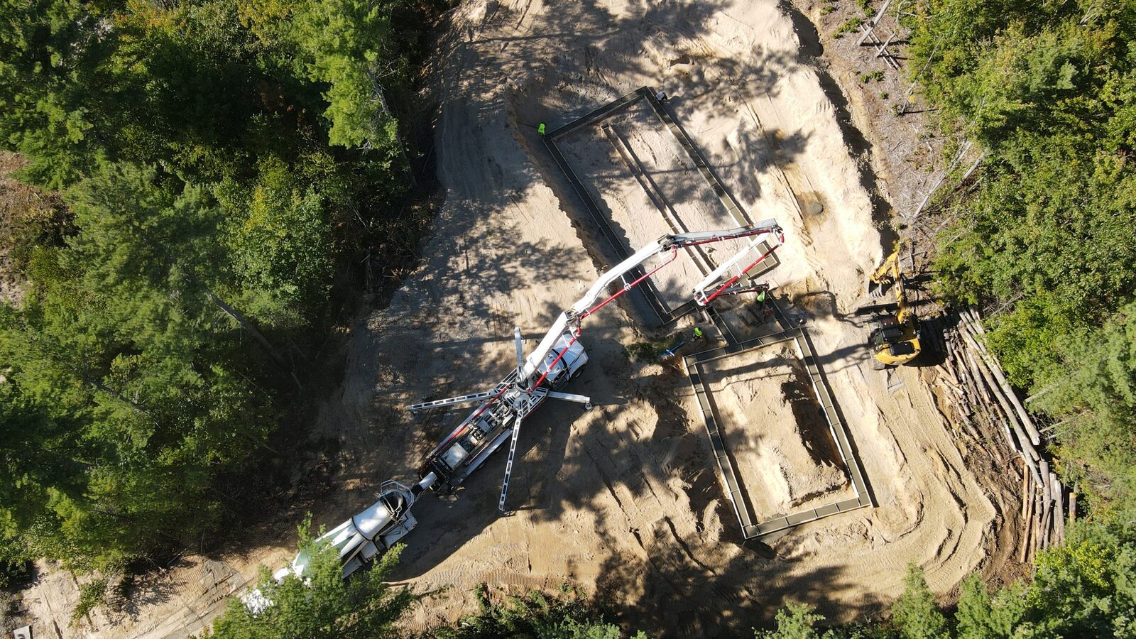
Aerial of a concrete pump truck pouring a foundation on a wooded site
Site surveyFoundation pour — live documentation
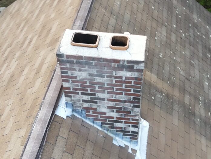
Aerial inspection of a brick chimney crown and flashing
InspectionMasonry chimney — crown & flashing
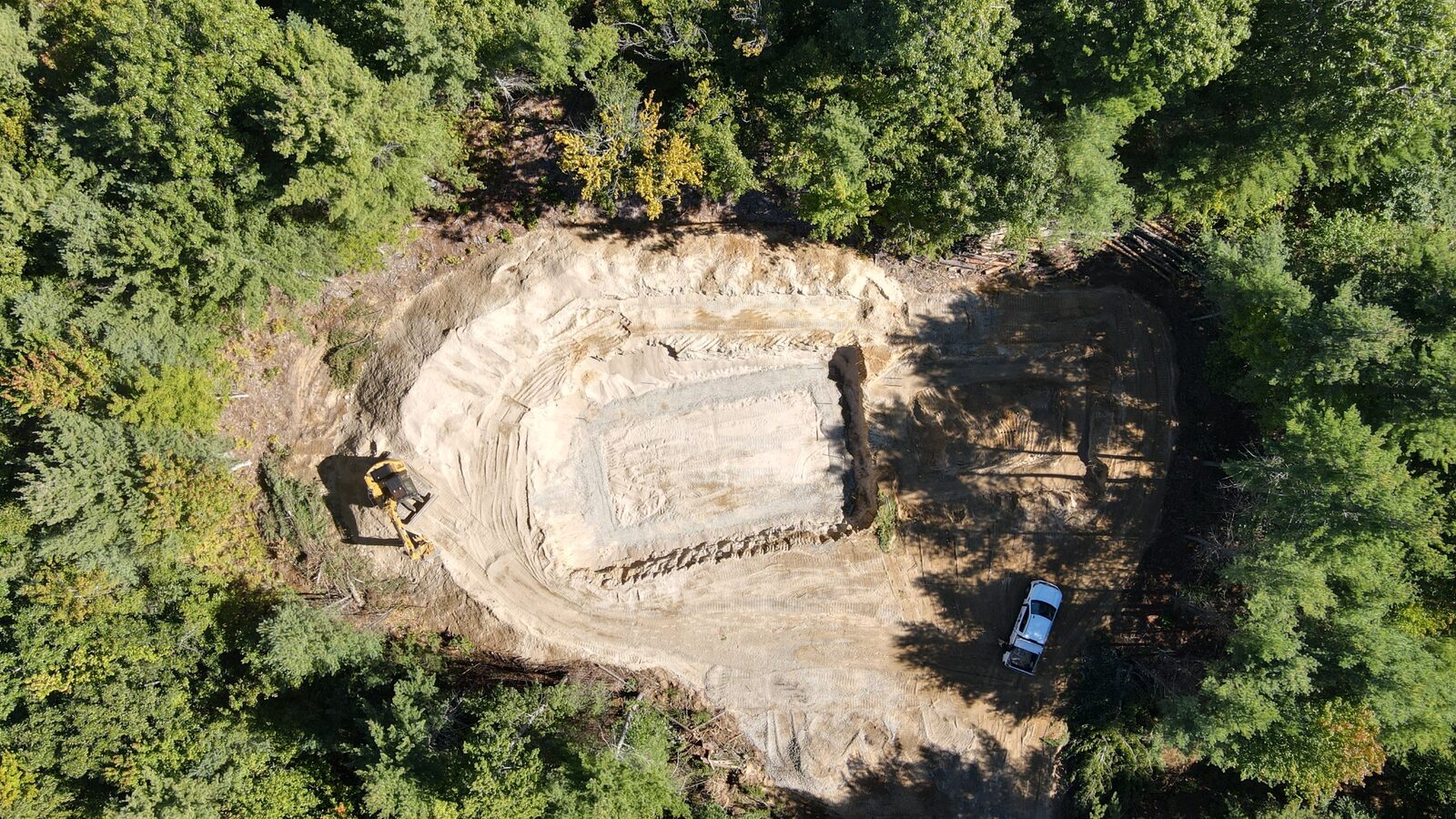
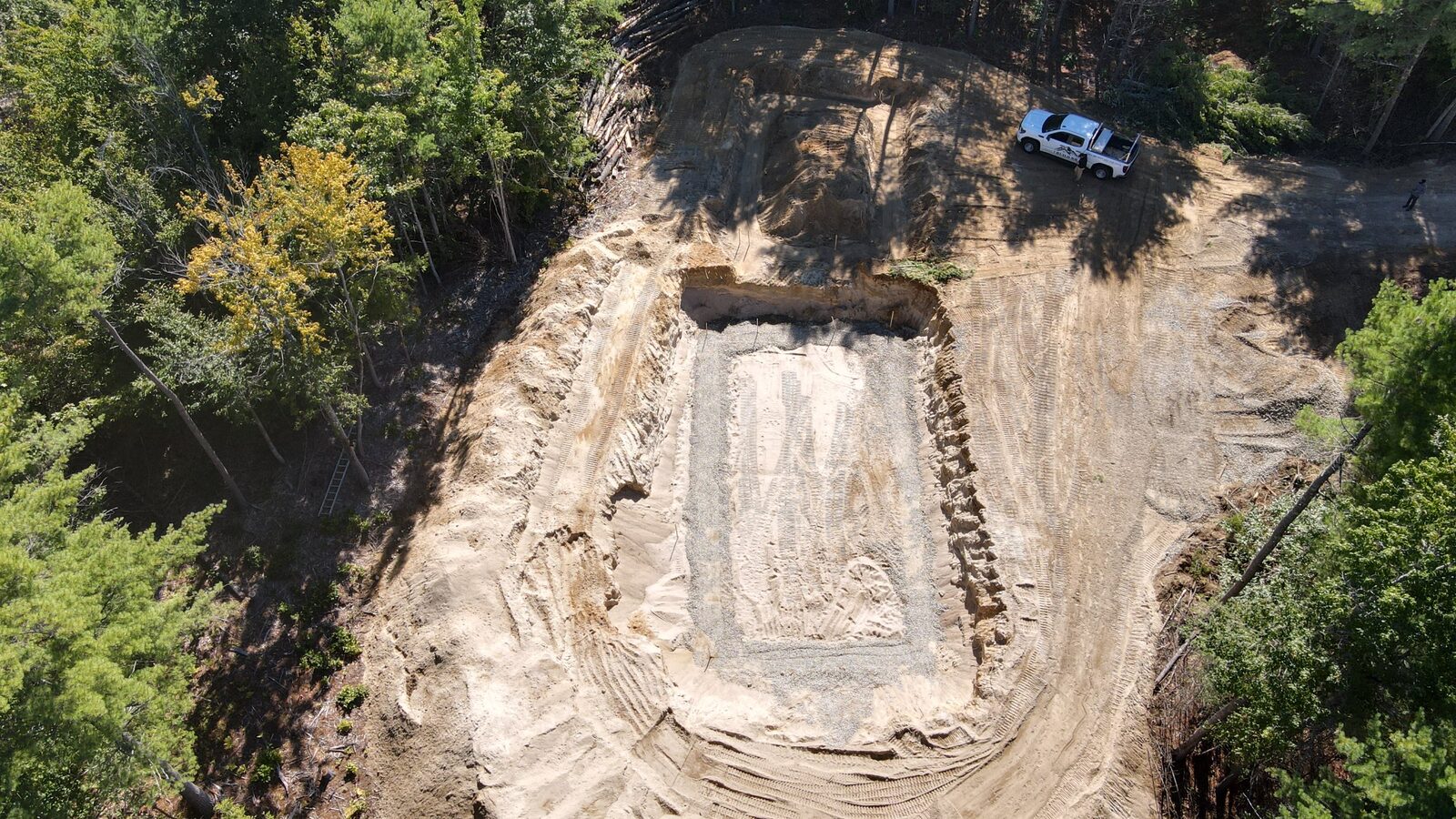
Aerial of an excavated building pad in the woods
Site surveyExcavation & pad prep
Aerial of a finished log home exterior with green metal roof
PropertyFinished exterior & site
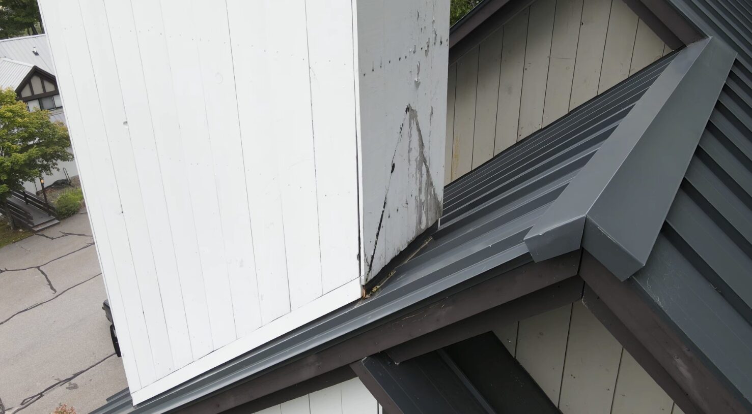
Aerial of a metal roof ridge and siding showing water staining
InspectionMetal roof & siding — water intrusion
Aerial of poured concrete foundation walls
ConstructionPoured foundation — progress check
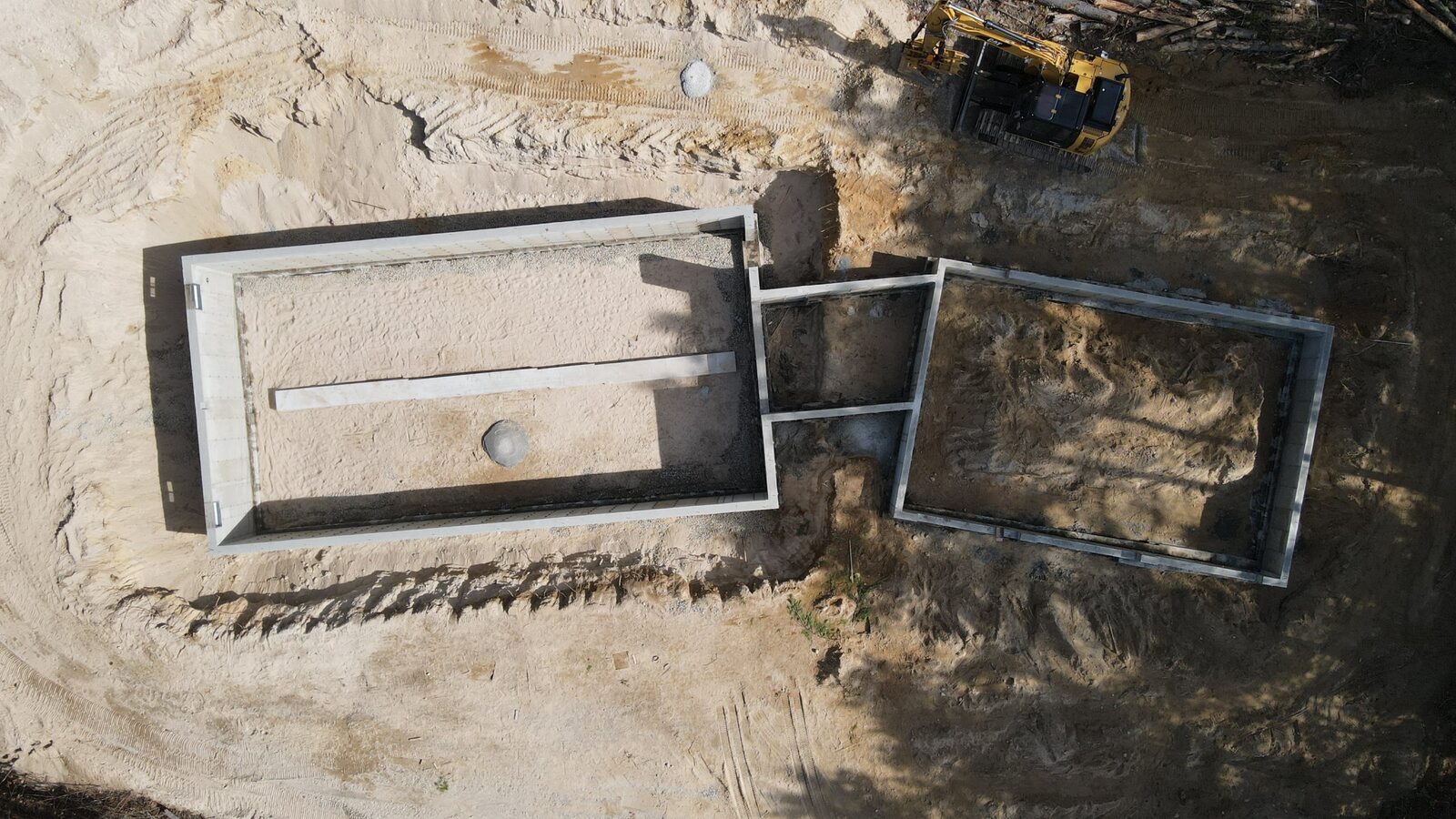
Aerial of a cleared site with footings and an excavator
Site surveySite clearing & footings
Service area

The valley and beyond

Based in the Mount Washington Valley and covering roughly a 60-mile radius — into the Lakes Region and western Maine. Farther searches welcome; distance is factored into the quote.

North ConwayConwayBartlettJackson GlenIntervaleMadisonTamworth OssipeeChocoruaFryeburg, MEBridgton, ME WolfeboroMoultonboroughMeredithCenter Harbor LaconiaGilfordAltonTuftonboro SandwichHoldernessNew DurhamMilton
Results

Work the valley trusts

Every flight we run, we document. These are the words clients send back — across recoveries, builds, and inspections.

Recovery
[Placeholder testimonial — a grateful pet or deer-recovery client once your first jobs are complete.]
— [Client name], [Town]
Construction
[Placeholder testimonial — a builder or property owner on your aerial documentation.]
— [Client name], [Town]
Inspection
[Placeholder testimonial — a homeowner or contractor on a thermal scan that caught a real problem.]
— [Client name], [Town]

↳ Replace these with real client quotes and link your YouTube & Facebook library here — that content is the engine of the whole business.

Our name

Cold air, clear sight.

A katabatic wind is the cold, dense air that pours down a mountainside after dark — the signature weather of the White Mountains, and the very moment a warm body glows sharpest against the cold ground.

That's the other half of the name. Optics is what we do: we see, from above, what the eye on the ground can't — a hidden animal, a wet wall, heat bleeding from a roof. Mountain science paired with precision imaging. That's Katabatic Optics.

Behind the lens

Katabatic Optics is flown by a remote pilot with more than 20 years of professional aviation experience and a master's degree in aeronautics and space studies, with coursework in remote sensing — the science of reading the world through a thermal and imaging sensor, and the exact discipline this work depends on. Every flight is run with a career aviator's discipline: methodical, deliberate, and safe.

We also bring something few drone operators can: an affiliated building-science and construction-management firm. For property, construction, and real-estate clients, that means your aerial and thermal data is read by someone who genuinely understands building envelopes, moisture, and structure — turning a drone flight into an inspection that actually tells you something.

Let's get it in the air

A recovery, a build, or an inspection — we're ready.

Call now and we'll talk through what you need, quote it honestly, and get moving. Urgent recoveries run day and night.

Prefer to type it out? Send us the details →
[Link this to your intake form · point the "Request" buttons to your Square Appointments booking link]